File:Portsmouth Semaphore Line.png
From The Dreadnought Project
Jump to navigationJump to search
Size of this preview: 593 × 599 pixels. Other resolution: 1,108 × 1,120 pixels.
Original file (1,108 × 1,120 pixels, file size: 270 KB, MIME type: image/png)
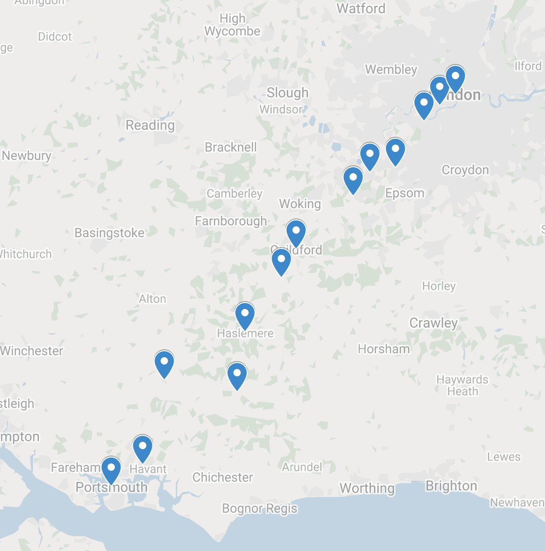
Map constructed by Tony Lovell. Exact locations depicted for stations other than the Admiralty are merely those Google Maps provided when given only the town name.
File history
Click on a date/time to view the file as it appeared at that time.
| Date/Time | Thumbnail | Dimensions | User | Comment | |
|---|---|---|---|---|---|
| current | 14:58, 13 February 2020 | | 1,108 × 1,120 (270 KB) | Tone (talk | contribs) | Map constructed by Tony Lovell. Exact locations depicted for stations other than the Admiralty are merely those Google Maps provided when given only the town name. |
You cannot overwrite this file.
File usage
The following page uses this file: